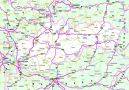
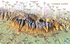
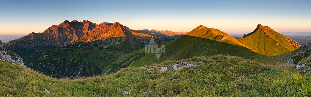
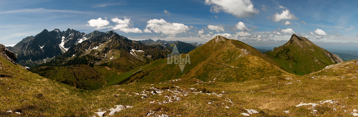
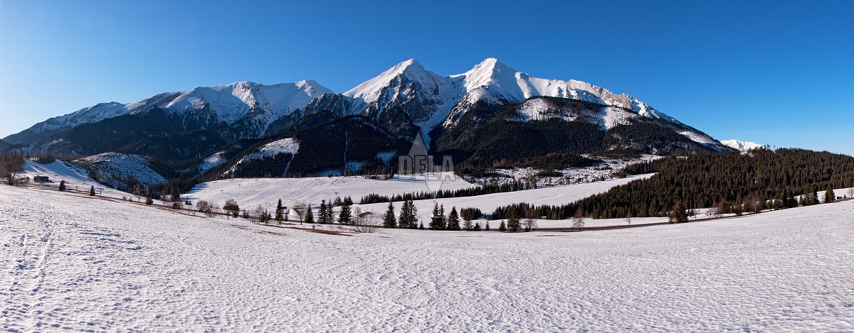
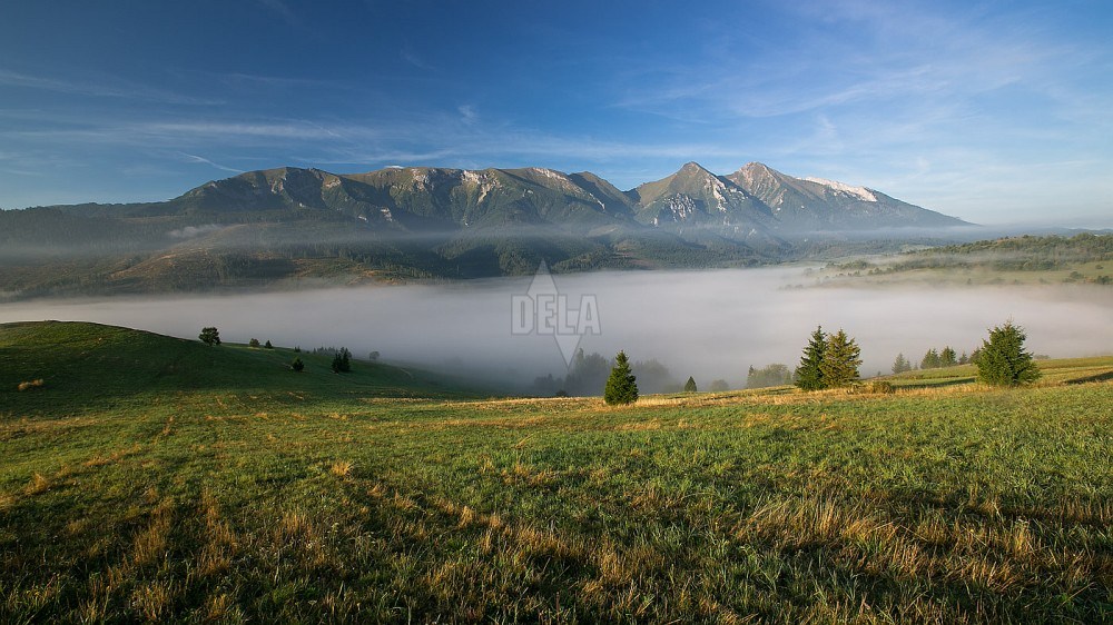
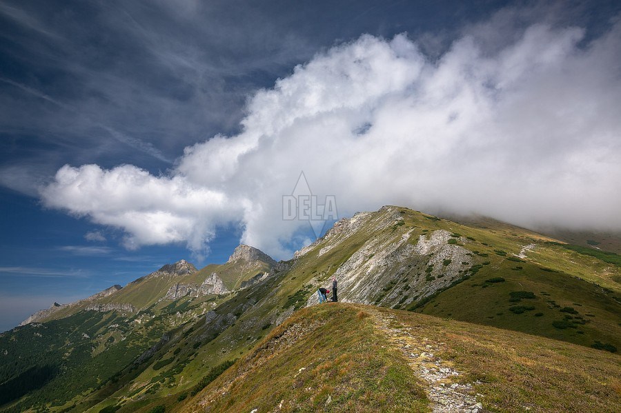
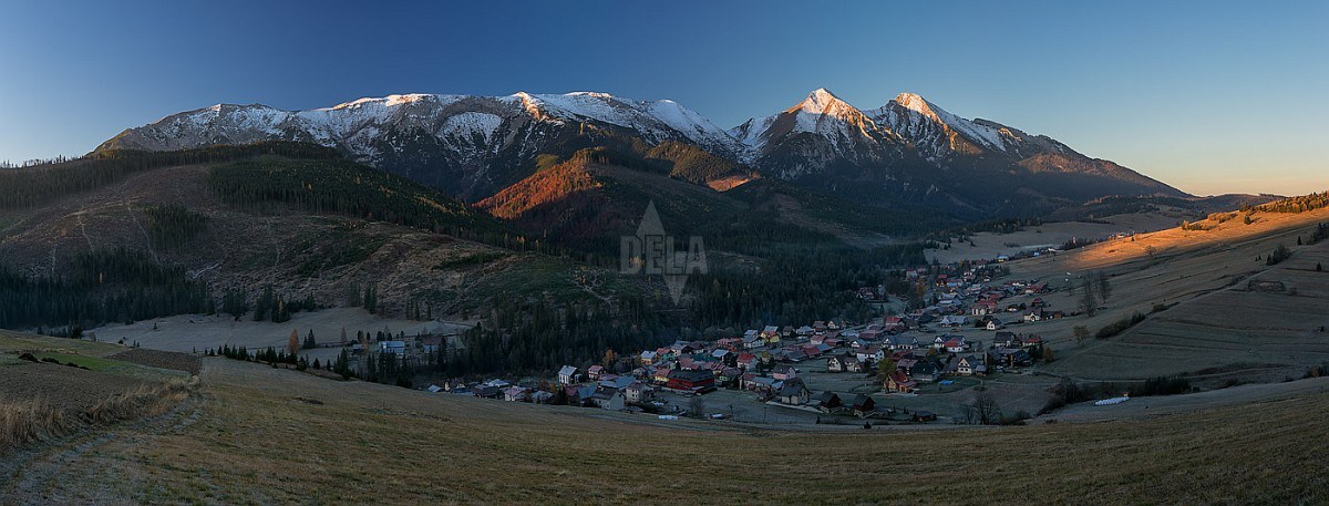
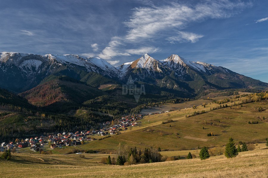
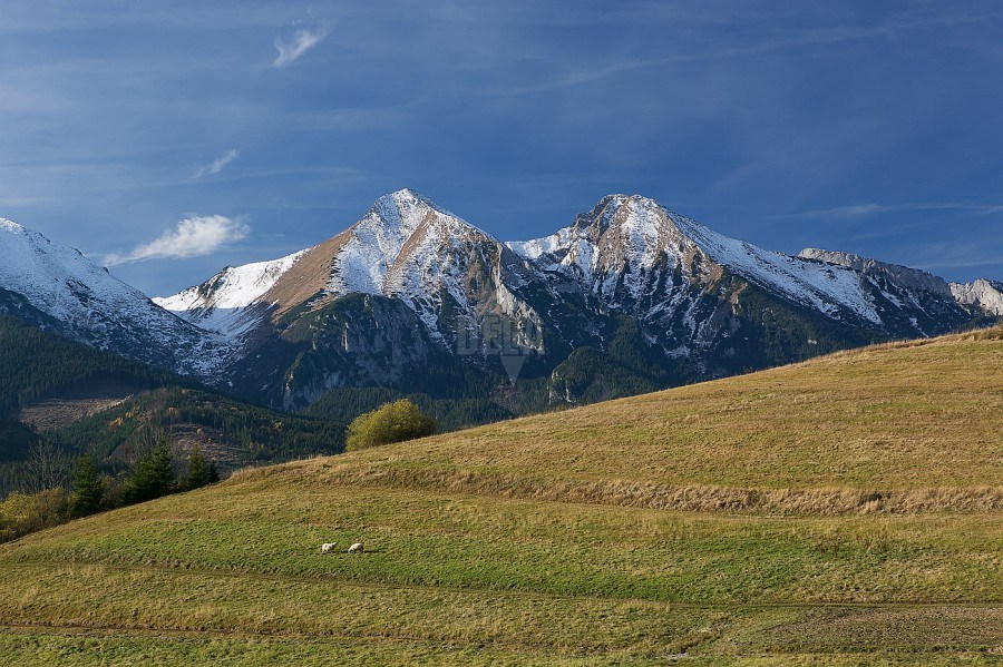
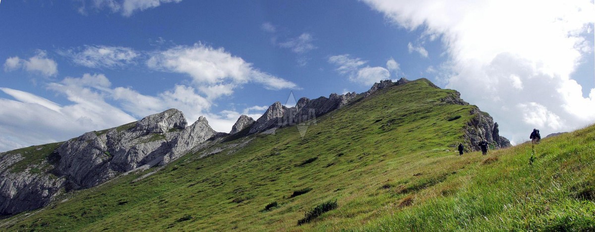
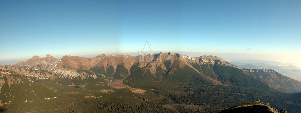
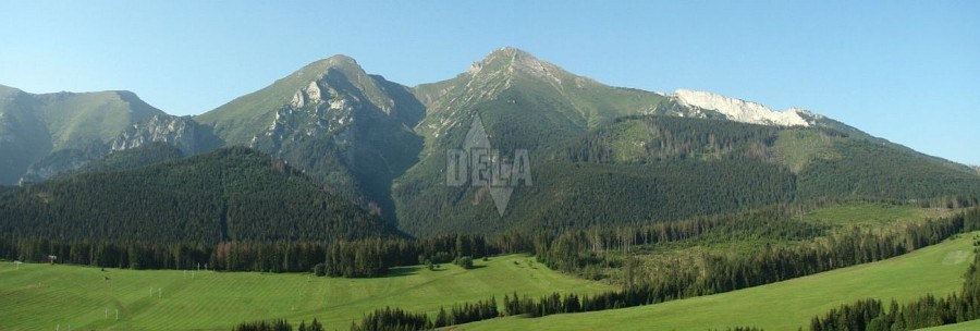
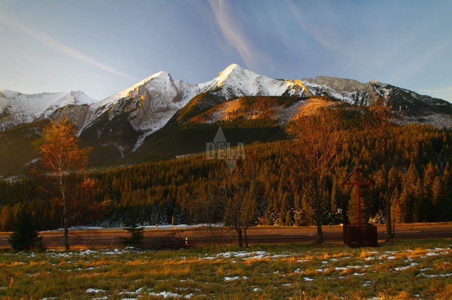
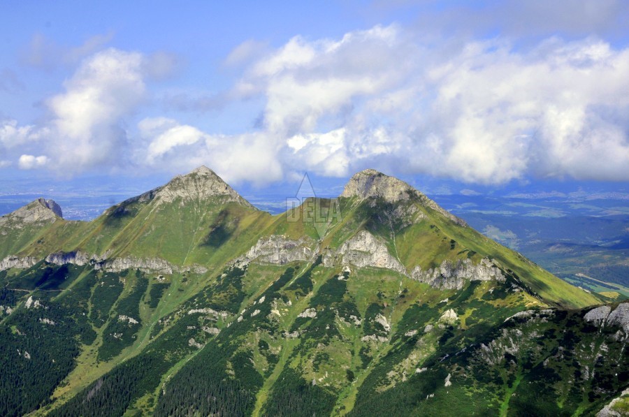
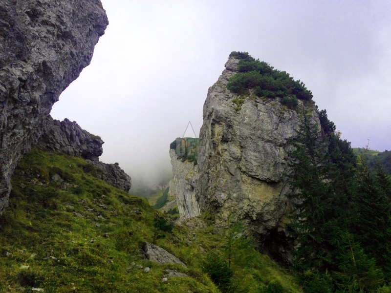
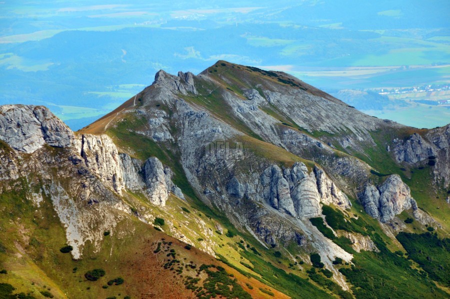
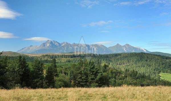
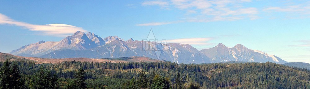
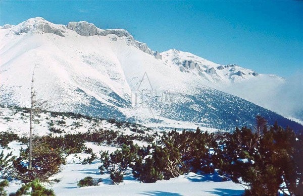
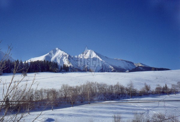
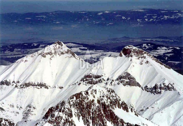
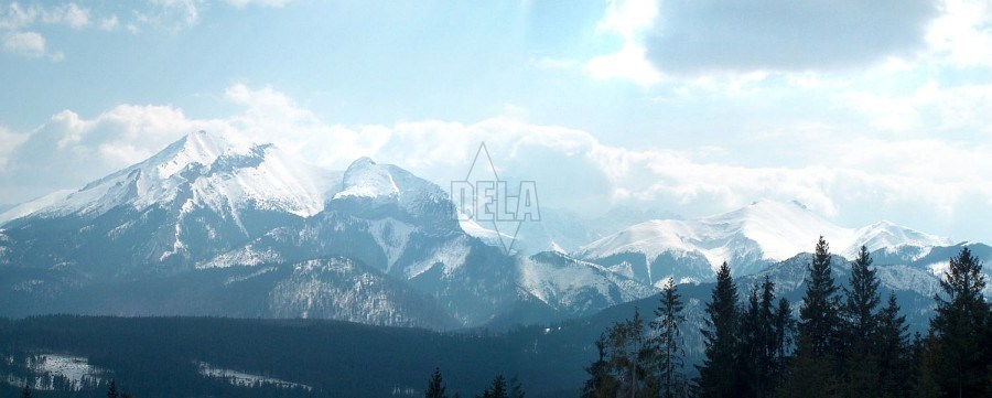
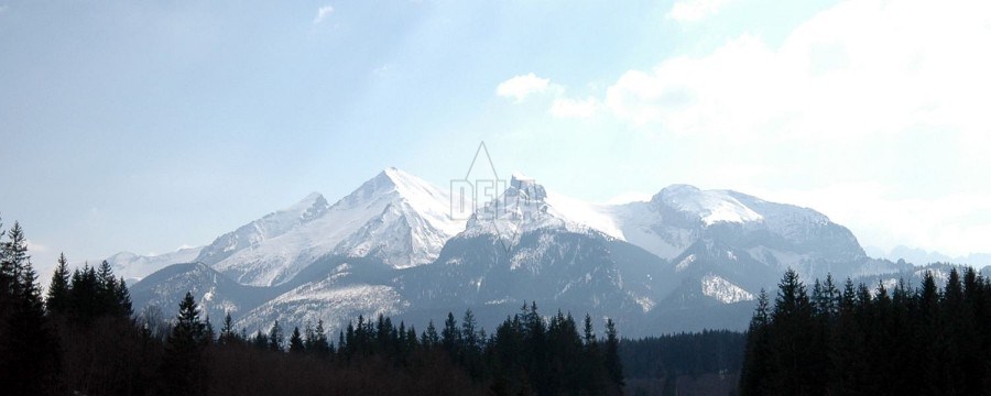
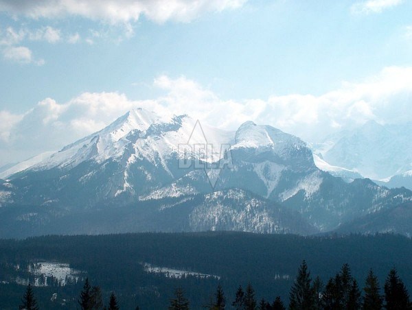
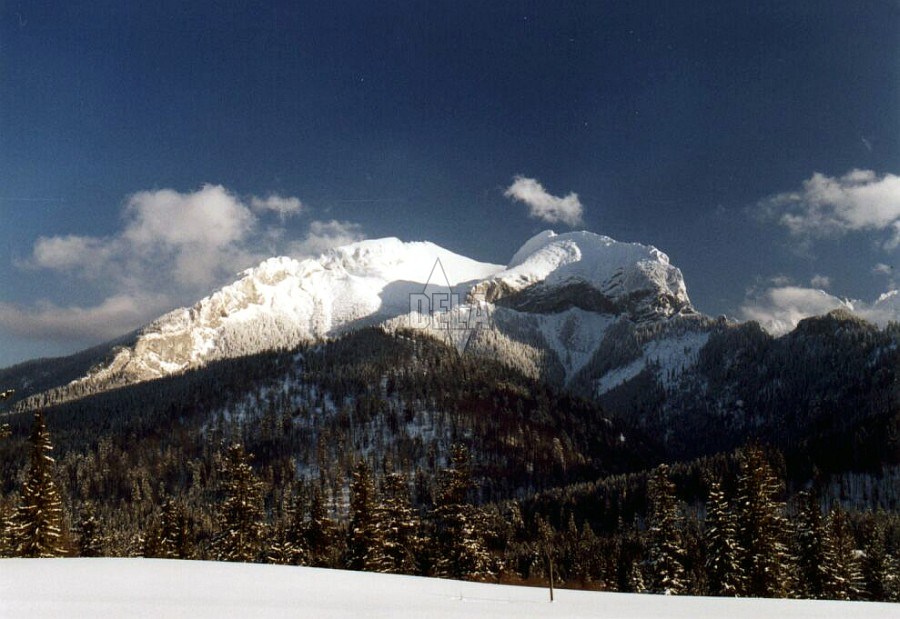
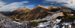
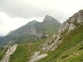
The Belianske Tatras consist of 14 km long limestone mountain-comb situated parallel with the main High Tatras comb in the east-western direction.
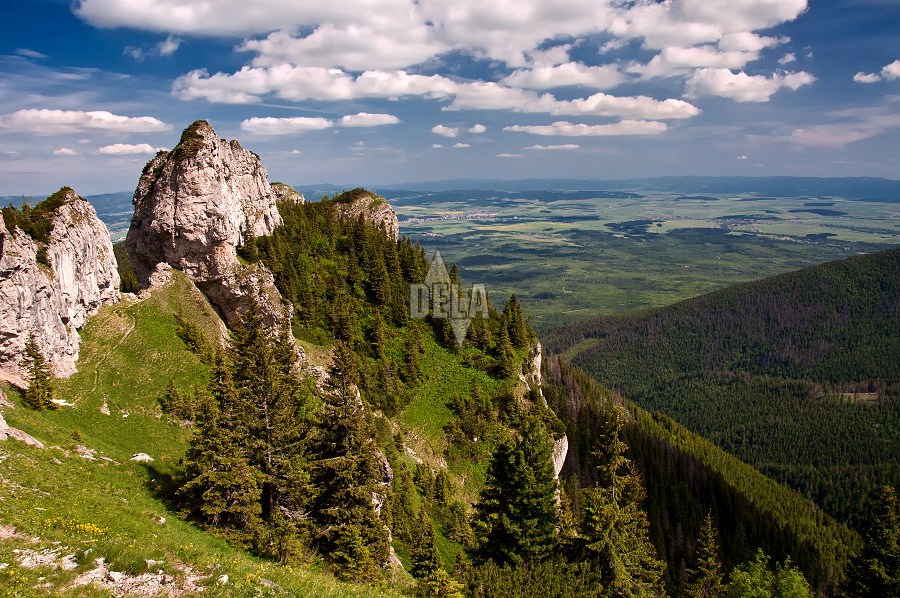
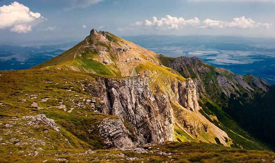
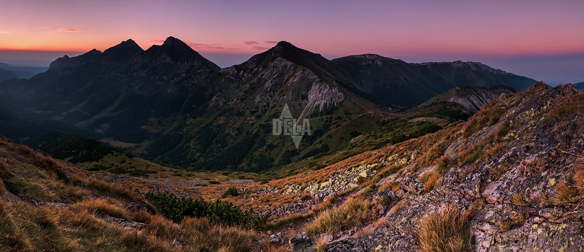
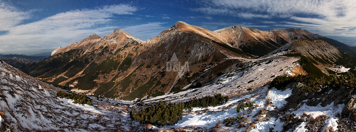
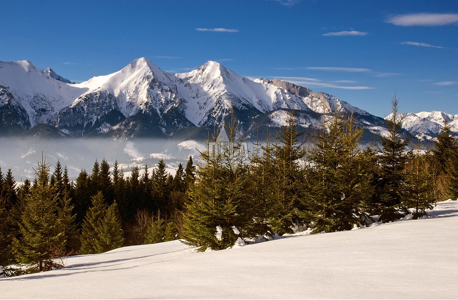
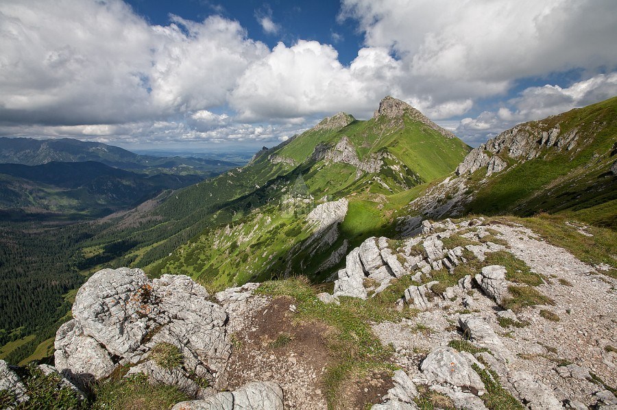
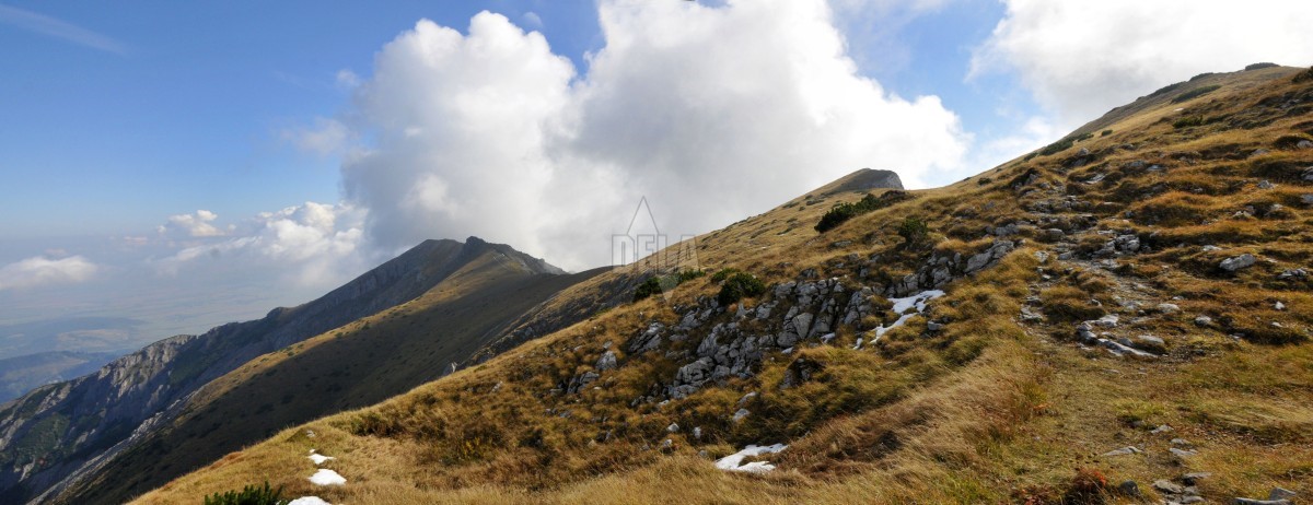
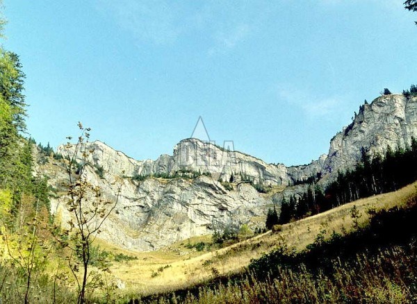
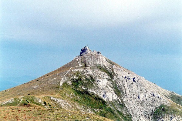
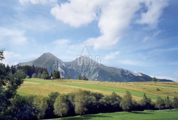
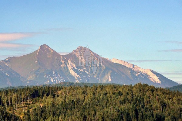
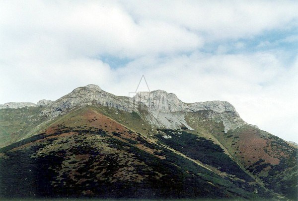
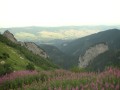
The both geologically different mountain-combs touch together at the Kopské Saddle. The Belianske Tatras almost have not been influenced by glacier activity. We will not find here any moraines, rocky thresholds, terraces and huge crotches that are all so characteristic for the neighbouring mountain-comb. On the other hand, you will be certainly impressed by limestone and dolomite walls with steep slopes covered by grass and rich vegetation. Ždiarska Vidla is the most dominant peak in the western part of the main comb (to the Široké Saddle). The Havran peak (2151,5 m) is the highest peak in the Belianske Tatras. Unfortunately, like other peaks in this area, it is not accessible for tourists.
Belianske Tatras is a natural carst area. You can find there a large number of caves, but not accessible for tourists. Belianska Cave situated above the settlement Tatranská Kotlina (Tatranská Basin), is the only cave open for public. From the settlement you can easily get to the chalet Plesnivec (1290 m), the only chalet in the Belianske Tatras. It is situated at the Bujačí vrch (Bull Hill).
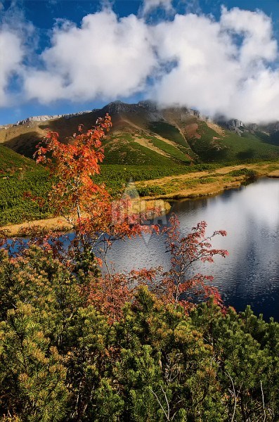
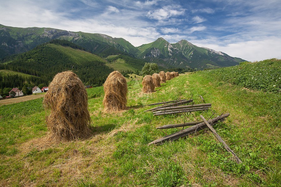
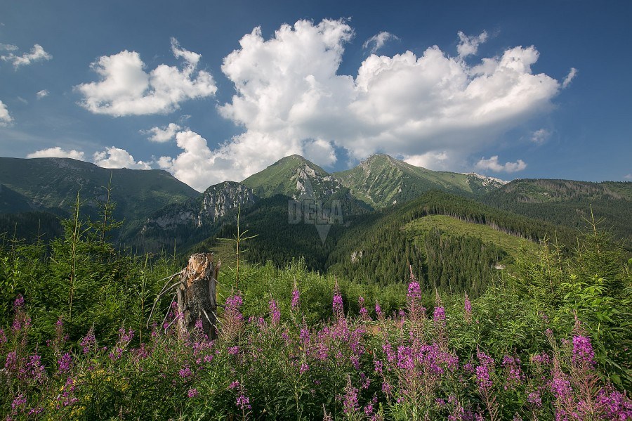
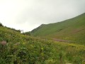
Despite the fact that there is no mountain-lake, this area is deemed to be the most beautiful and naturally the richest part of the Tatras region. The land is rich on calc as well as vegetation. Plesnivec alpínsky (Leontopodium alpinium) is the most typical. Local shepherds from the 14-th century were probably the very first visitors of these beautiful mountains.
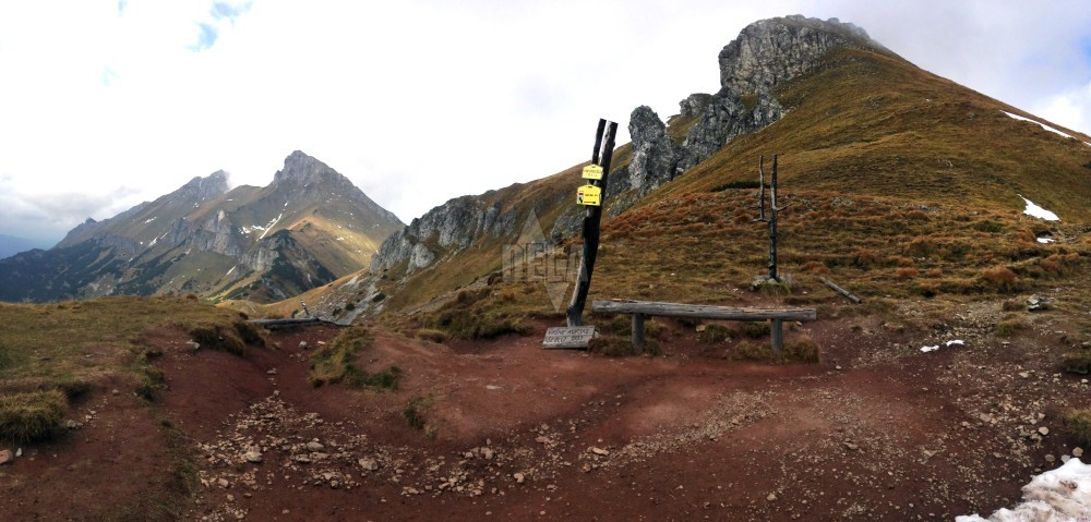
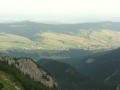
Wooden coal was burned and coppers as well as other metallic ores were mined here in the 17-th century. The majority of the Belianske Tatras area has been closed for public since 1978. The main reason was a protection of rare sorts of flora and fauna in this part of the National Park Reserve. Only Zadné Meďodoly, Predné Meďodoly and Dolina Siedmych prameňov (Valley of Seven Springs) are open for tourists. Tourist path through the Monková dolina (Monková Valley) connecting the village Ždiar with Široké and Kopské Saddle has been open since 1993.
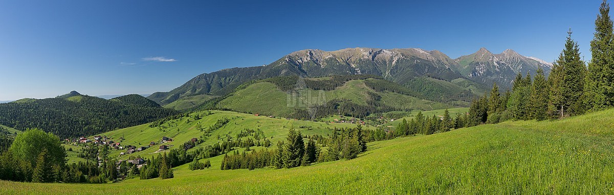
 The Belianske Tatras consist of 14 km long limestone mountain-comb situated parallel with the main High Tatras comb in the east-western direction.
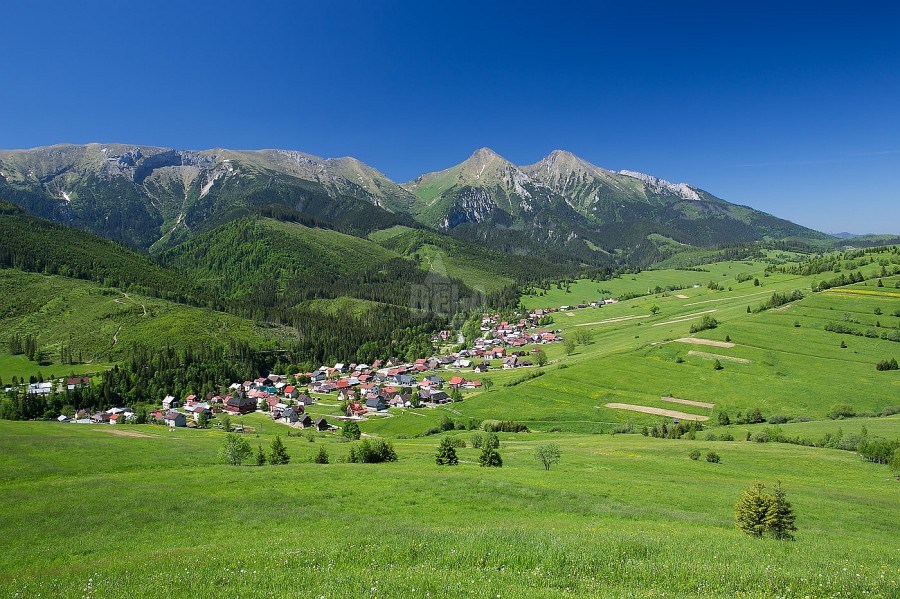